This post is being reposted because when looking at this while working on yet another new template, I immediately recognized parts of the Eastern Sierra. My mother would have said: “If it had been a snake, it would have bit you.”
I flew south the day after the Wet Washington post. It was raining when I left and we flew above the clouds. The skies cleared giving quite a show.
I miss the little maps that used to be posted in airliners telling you where you’re flying.
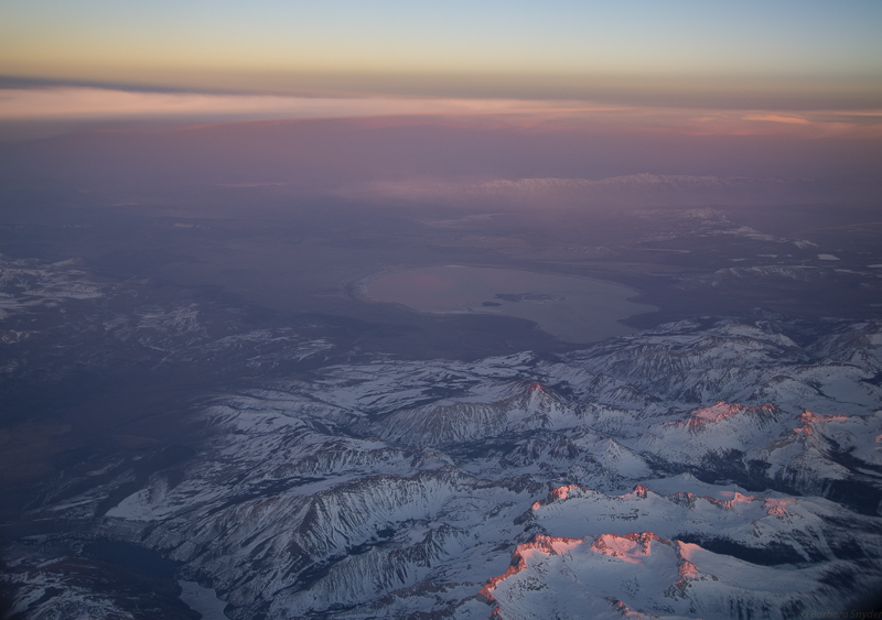
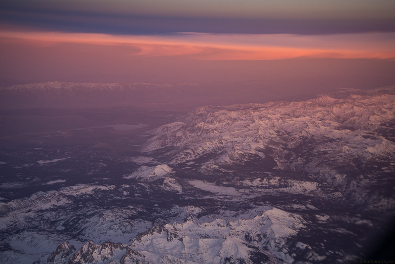
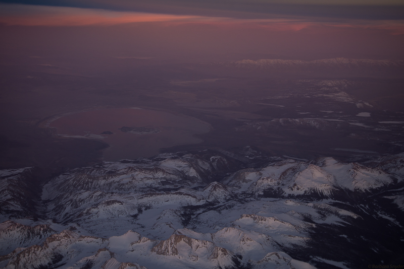
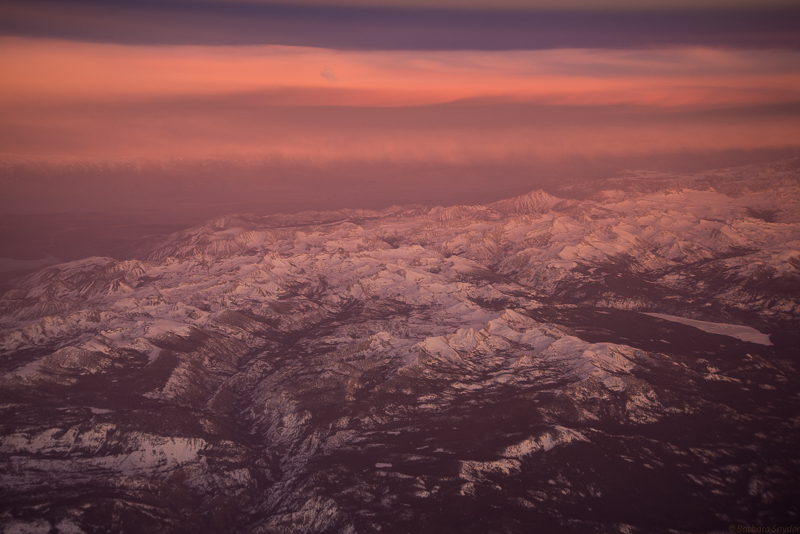
The Alpenglow showing above in the Eastern Sierra and below didn’t last very long and the airliner was covering some of the beauty. This is an update (1/18/18): when I was looking at this earlier I immediately recognized Mono Lake and the White Mountains in the far distance! I was initially so enthused by catching the alpenglow that I didn’t look further.
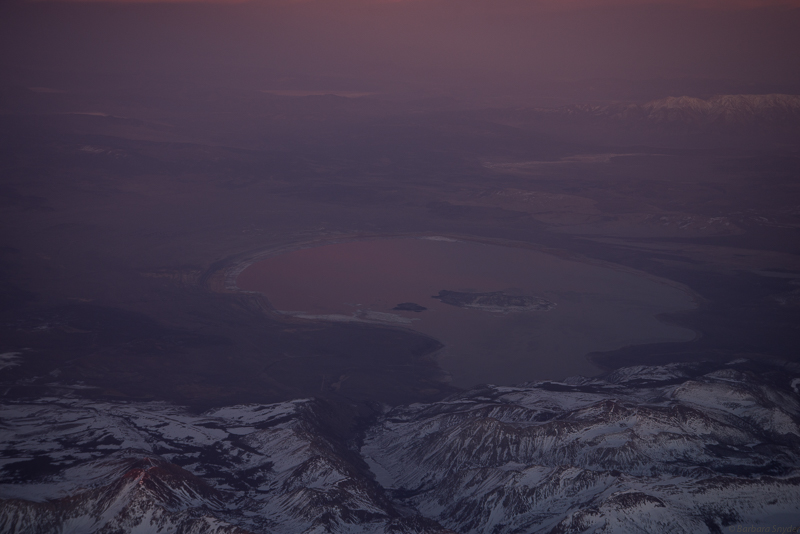
Mono Lake again, showing SR120 into the east entrance of Yosemite in lower center. You can see the cinder cone in the center of the lake.
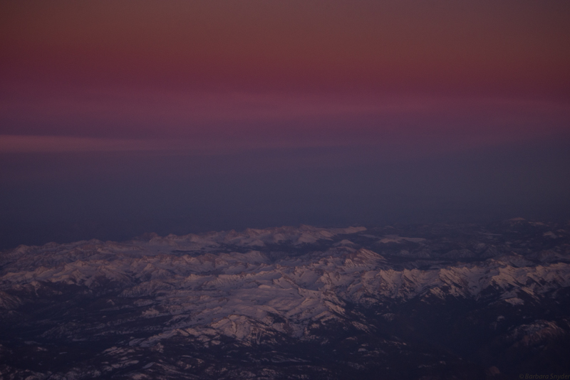
I didn’t realize how many variations I have of the same area until I posted them. The colors were breathtaking and I couldn’t stop from taking the photos.

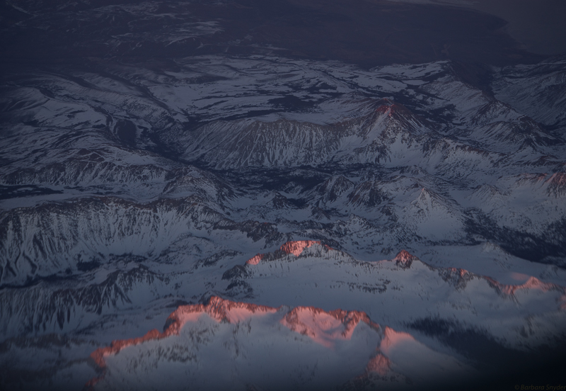
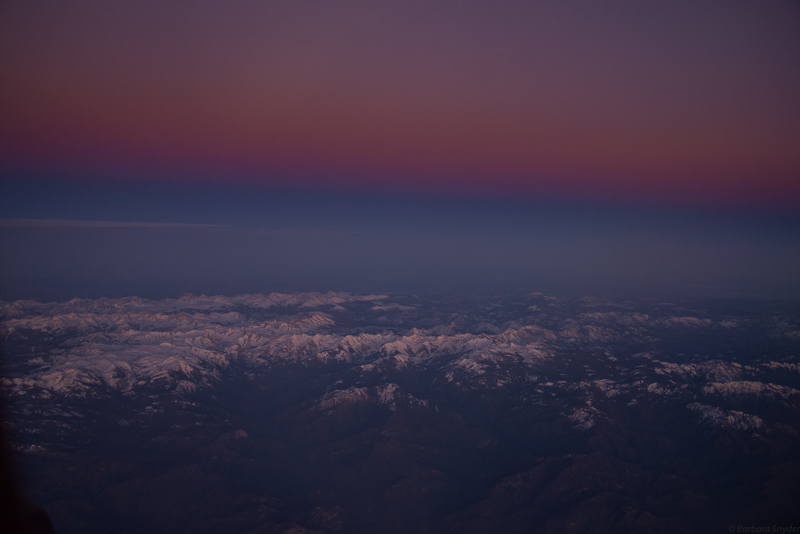
This is Convict Lake in the Eastern Sierra, with Lake Crowley and the White Mountains in the far distance!
Could this be Mammoth Lakes and Lake Mary in the left foreground? (I’m doing contortions in my seat to get these shots while avoiding the wing! I think I’m looking backwards here.)
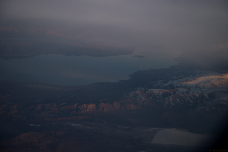
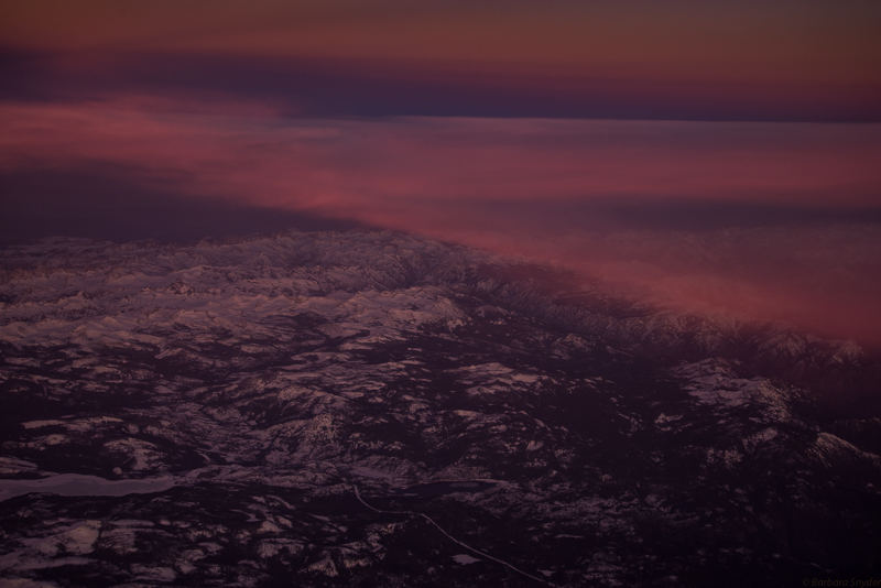
The photo above clearly showing the curvature of the earth shadow in blue curve.
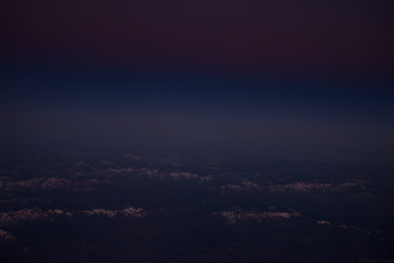
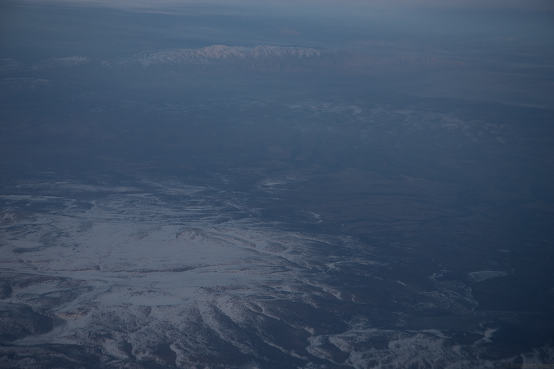
Getting too dark for photos.
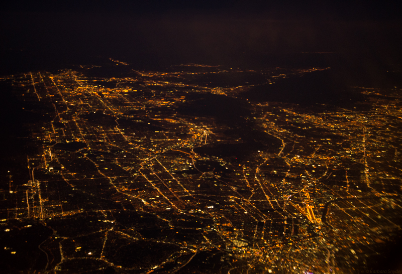
Los Angeles!

Leave a comment