Since I previously hiked East Coast hills, or rode my mountain bike on ‘pretty big hills’ in Fair Hill, Maryland, hiking the Sierras has been a learning experience. I follow a guide-book: “50 Classic Day Hikes of the Eastern Sierra” by Devon Fredericksen and Reed Harvey, to know what I’m tackling ahead of time, particularly the altitude gained and whether they consider the hike easy, moderate, difficult or strenuous. I’ve found out though that the altitude gained doesn’t take into account the switch back downs and then the ups again. A trail marked 1,600′ gain, may actually be closer to 2,300′ gain – a much more breath-taking hike (and I don’t mean just beautiful), although they usually are breathtakingly beautiful too. Interestingly, I had a conversation with some photographer friends recently about reading and studying about places we are about to visit. In the past, I did not want to know too much ahead of time as my expectations sometimes overshot my experience, then I’d be disappointed. I prefer to take the days as they are given to me: cloudy, rainy, sunny, hot, cold, tired, exuberant. Then, if there is no sunrise or sunset that’s worthy of photographs or no nifty photos of animals or birds – it’s ok. But I like being somewhat ready for hikes – it’s safer that way.
Be forewarned, this post is heavy with photos. It took me a couple of hours just to whittle down the number to what I’ve included! 😉 Be like my cousin Wendy, sit with a cup of coffee and take a hike with me.
Starting at the trailhead for Lake Sabrina, I was wonderfully surprised to find water in the lake. When I had visited with my granddaughter earlier in the spring, the lakebed with lots and lots of rocks and boulders showing was clearly visible except for a very small (maybe 500 yard) shallow pond near the back of the lake. At the time, only a very small creek exited the lakebed underneath the dam (which shows as a V shape in the photo below as you’re looking out toward the valley and the White Mountains. This photo was actually taken toward the end of my hike, but I like how it shows most of Lake Sabrina.


The sound of a large waterfall from across the lake accompanied me. If you look at the photo above in the upper right corner, the white water from the Bishop Creek is flowing into the lake. There were lots of people on the trail – I talked with at least five different groups. The last group was six young Chinese men, fully loaded for an overnight at the lake.


I’m too far from the waterfall shown in the middle of the photo for a clear picture, but I can still hear it. I’ve carried less and less camera equipment (read 60mm lens only) – this is when an extra lens would work better.
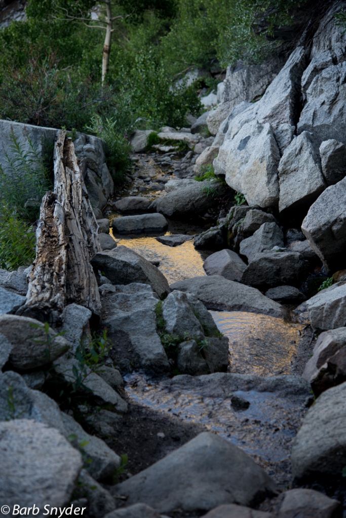
The hike to Blue Lake was one of those “Gee it looks like not much altitude gain” hikes. Hmmm. I had hiked for almost three hours (taking too many photos to be speedy). There were a lot of switchbacks and beautifully constructed rock steps and walls that it must have taken weeks or months to create way back when using mule pack trains (as the path is the only way to get there, no roads here).


Leave a reply to JF Cancel reply